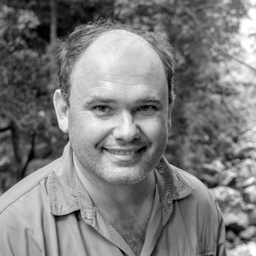
Lilian Pintea brings more than twenty years of experience in using satellite imagery and Geographic Information Systems (GIS) to the job of conserving chimpanzees and their vanishing habitats in Africa. This includes one of the first applications of high resolution satellite imagery for community mapping, innovative use of geospatial technologies to develop and implement conservation and participatory village land use plans, and the use of mobile technologies to empower local communities to monitor their forests and be better stewards of their natural resources and custodians of chimpanzees.
Dr. Pintea holds a Ph.D. in conservation biology from the University of Minnesota and a M.S. in zoology from Moscow State University, Russia. He is a former MacArthur Scholar of the MacArthur Interdisciplinary Program on Global Change, Sustainability, and Justice at the University of Minnesota and a former Fulbright Scholar at the Center for Remote Sensing at the University of Delaware. With frequent trips to the field in Sub-Saharan Africa, Dr. Pintea lives in Silver Spring, Maryland.


