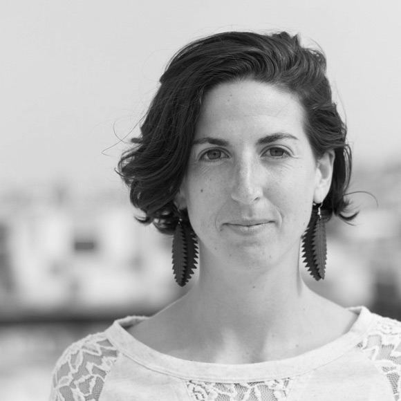
Camilla is an imagery specialist at Mapbox where she works with the satellite team to analyze environmental and remotely sensed data. She also works to facilitate the transition of traditional pipelines into fully open-source powered workflows.
Camilla comes to us from Clark University, where she studied spatial statistics and advanced remote sensing. Having worked in community development and natural resource conservation, she is interested in earth systems science and urban resilience in a rapidly changing world. When not working with data, Camilla can be found adventuring on her bike, coaching ice hockey, or attempting to play the drums.


