I attended my first SatSummit in Washington, D.C. a few weeks ago and it was only the second ever SatSummit. It was fabulous. Open. Engaging. Informative. Diverse. I had the privilege of sitting on a panel with ESA, NASA and the CEO of Radiant, an organisation being set up by Omidyar and the Gates Foundation to talk about open data and government, but more about that later.
The event was made possible by a number of sponsors and as the CEO of one of them, Mapbox, Eric Gundersen gave a heart-warming intro with one caveat, “no bullshit”. I quite like this since he is running a software company and not once did he pitch his wares.
Our MC, and overall event organiser and good fellow, was Ian Schuler, CEO of Development Seed (also the person who kindly invited me to participate).
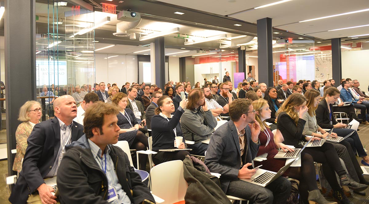
First up was Carissa Christensen from the Space and Technology Practice at Tauri Group, who provided insight and numerous stats regarding the state of the satellite industry. I would recommend visiting the Tauri Group website if you want to learn more about the satellite aspects of global Earth observations.
Kevin Bullock from DigitalGlobe was the first of the major commercial satellite constellation owners to speak and he entertained us with several references to physics and explaining the increase in the amount of high resolution imagery available from the DigitalGlobe constellation following the launch of WorldView-4. He also announced opendata.digitalglobe.com, which I hope will be brokered via geoportal.org. The best image of the day also goes to Kevin for his slide showing #WV4 launching from Vandenberg AFB captured by #WV2.

The next presenter was someone I had heard about, but never met, and again a very good presenter who talked about some of the real challenges in international development and disaster response, which could be helped by the technology and solutions provided by his organisation, Planet. Andrew Zolli leads global impact initiatives at Planet and spoke about their work around the world, which is indeed making an impact. I don’t remember him mentioning it, but shortly after his session there was a public announcement about Planet acquiring Terra Bella from Google.
Both DigitalGlobe and Planet, as well as several other commercial providers are working to support the UN Agenda 2030 and the Sustainable Development Goals (SDGs). As an aside, this is something close to my own heart since I have been working with the United Nations team leading Global Geospatial Information Management (UN-GGIM) for over five years and this team now chairs the Inter-Agency and Expert Group on the Sustainable Development Goal Indicators (IAEG-SDGs) Working Group on Geospatial Information (WGGI); just rolls off the tongue. My organisation, the Group on Earth Observations (GEO) is also part of the WGGI working on Earth observations and the SDGs.
Back to SatSummit. Melanie Preisser from Vulcan Aerospace, the first of numerous female speakers, provided an overview of how many satellites actually make it into space, and the coalition making launches happen. Her photos were a close second to Kevin Bullock’s slides, and showed the sheer enormity of some of the space vehicles. Melanie was followed by Matt O’Connell, who for many people in the industry, he requires no introduction. Matt was formerly President and CEO of GeoEye. He regaled us with tales of ‘making it work’ and what inspired him. Matt and his team built an organisation of 60 employees producing $9 million of revenue per year to 760 employees producing $360 million per annum. He talked about building a billion dollar satellite company, which was sold to DigitalGlobe in January 2013.
Next up was Mark Gildersleeve from The Weather Company, part of IBM. He spoke extensively about the recently launched GOES-R [Geostationary Operational Environmental Satellite-R Series] and lauded the efforts of the National Oceanic and Atmospheric Administration (NOAA). GOES-R series data will be used in real time for critical weather forecasting and warning applications, which is invaluable for Weather Company customers and others.
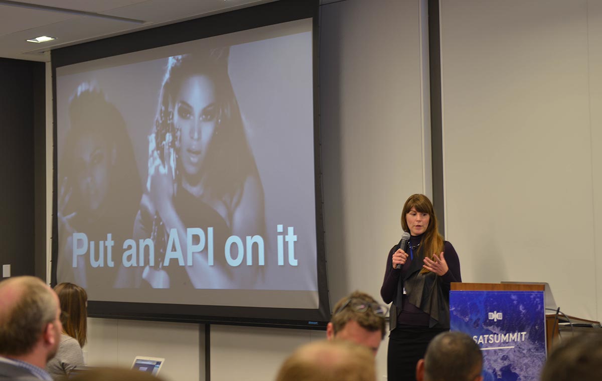
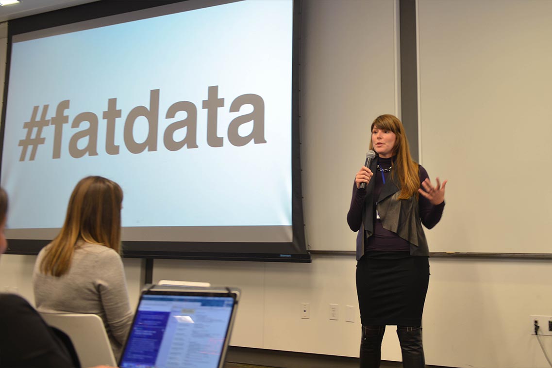
Bronwyn Agrios from Astro Digital then talked about building a platform for satellite data and about how satellites will continue to create an overwhelming amount of raw data. She explained the platform Astro Digital has been focussing on the importance of good UI design and APIs, notably the concept of #fatdata – every pixel contains lots of information – big data and metadata.
One of the great things about SatSummit was the cross section of industry organisations involved in the space sector. Tahara Dawkins who is responsible for commercial remote sensing in the Regulatory Affairs Office of NOAA spoke about government challenges in this area and how they are working to keep pace with technology and make it possible for industry to work effectively with them.
Also representing government was Ambassador Mark Brzezinski formerly with the Arctic Executive Steering Committee at The White House under the Obama Administration. Mark shared how in January 2015, in recognition of the unique challenges and opportunities presented by the Arctic, President Obama issued an Executive Order to enhance coordination of national efforts in the Arctic. He recounted how, when tasked with executing a tactical implementation of a presidential vision on climate resilience and adaptation, he used digital elevation maps in the Arctic to understand a rapidly changing region with global implications. I like it when you get someone who is honest about not being a technologist but seeing the impact it can have. One of the GEO Participating Organisations, the World Meteorological Organisation (WMO), has written regularly about the extent of sea ice in the Arctic and Antarctic. Mark brought it home that we are seeing Artic warming two to four times faster than anywhere else on earth. His talk also reminded me of some of the important work GEO is undertaking with GEOCRI.
The penultimate note, from my perspective, because I had to fly back to Geneva for a meeting the same day, was the panel that I sat on with ESA, NASA and Radiant.
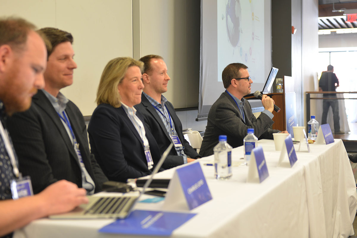
NASA, ESA, JAXA and other space agencies produce a great deal of open data. It is possible that many people in the international development community are unaware of all the great data that is actually available. I mentioned that geoportal.org also brokers all the satellite imagery, as well as other Earth observations since GEO provides EO data in, on and around the Earth.
One goal of this panel was to highlight what open data and services are available that are relevant to social and environmental work. A second goal was to understand how NASA and ESA can better serve the needs of the global development community, i.e. make their data discoverable, accessible and usable. Finally, there was a goal to understand the new initiative being led by Anne Miglarese to provide open imagery to the development community.
As the Moderator, Charlie Lloyd from Mapbox did a nice job of allowing the panelists to speak to various points, and Kevin Murphy from the Earth Science Data Systems Program at NASA talked about their long commitment to open source and open data and how he is directing a number of efforts to modernize NASA’s data processing and distribution. This includes making better use of cloud processing and distribution. Chris Aubrecht, the ESA Representative to the World Bank spoke about his role as an example of how global development is supported by ESA at large multilateral institutions. For example, ESA is working globally through the Sentinel missions for the operational needs of the Copernicus programme. Anne talked about going beyond providing imagery and playing a number of “infrastructure” roles like maintaining data standards, funding maintenance of important open source libraries and conducting training and education. I contributed with my own experience on open data (going back to 2007) and open standards, as well as the massive community activities around the Group on Earth Observations (GEO). I also gave a shout out to people giving their personal time to help others and move the community forward, namely #GISTribe and the Spatial Community on Slack.
I really enjoyed my 36 hours in Washington, D.C. and I would encourage anyone who has the possibility to get there (ideally for longer) to attend SatSummit in 2018.
Steven Ramage is Senior External Relations Manager for Group on Earth Observations (GEO)

